Bigcone Spring via Maple Springs Road
7.4 mi
Distance
3 hrs 26 min
Time
terrain
2,655 ft
Elev Gain
Overview
This is a difficult one way trail in Cleveland National Forest.
This trail goes by Maple Springs Visitor Center, Bigcone Spring, and Maple Spring.
Sights to See
Rate this Hike
★★★★★


Public Tracks

5S04 - Maple Springs Road - Cleveland NF
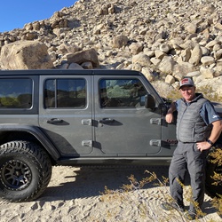
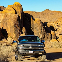
5S04 (Maple Springs Rd.) from the Silverado Gate to Maple Springs Junction.
The first half of the road is paved with some possible mild water crossings and the second half is dirt. Most trucks and SUVs should be able to make it to Maple Springs Junction without the use of a 4x4 low-gear.
This trail is not recommended for low clearance vehicles as there are a few bumps and ruts that will cause small cars to "hi-center"
Areas past Maple Springs Junction are not as well maintained and can require high clearance and a 4x4 low-gear.
Gaia GPS Track Link:
https://www.gaiagps.com/datasummary/track/7aaf5c43ebb946dc150fcbd408a8e2d4f8a0cf58/?layer=caltopousfsvisitor

Maple Spring Road - Silverado Canyon - 5S04
Copyright © by Trails Offroad, LLC

Maple Spring Road - Silverado Canyon - 5S04
Copyright © by Trails Offroad, LLC