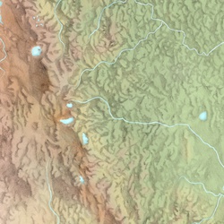
Sunrise Peak via Juniper Ridge Trail #261
11.3 mi
Distance
5 hrs 28 min
Time
terrain
1,795 ft
Elev Gain
Overview
This is a difficult out and back trail to Sunrise Peak in Gifford Pinchot National Forest.
This trail goes by Juniper Peak.
Rate this Hike
★★★★★
Public Tracks

10 - Sunrise Peak #2 AS to Juniper Ridge #2 AS
Section Mileage: 7.84 miles
Section Gain: 2,533 feet
Section Loss: 3,412 feet
Cumulative Mileage: 91.42 miles
Cumulative Gain: 26,401 feet
Cumulative Loss: 24,056 feet
Lowest Elevation: 3,641 feet
Highest Elevation: 5,863 feet

10 - Sunrise Peak #2 AS to Juniper Ridge #2 AS
Section Mileage: 7.84 miles
Section Gain: 2,533 feet
Section Loss: 3,412 feet
Cumulative Mileage: 91.42 miles
Cumulative Gain: 26,401 feet
Cumulative Loss: 24,056 feet
Lowest Elevation: 3,641 feet
Highest Elevation: 5,863 feet

03 - Sunrise Peak AS to Juniper Ridge AS #2
Section Mileage: 07.46 miles
Section Gain: 2,122 feet
Section Loss: 2,998 feet
Cumulative Mileage: 23.67 miles
Cumulative Gain: 9,015 feet
Cumulative Loss: 6,671 feet
Lowest Elevation: 3,642 feet
Highest Elevation: 5,494 feet