Timberline Trail #600
Overview
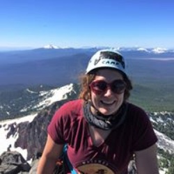
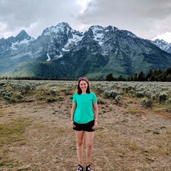
If doing the whole Timberline Trail clockwise, then this would be the final section. It starts out with a steep climb from Cloudcap up to the highpoint of the trail, around 7350 feet. There are many fresh streams to refill water up here if needed, with excellent views. About a quarter of a mile later, you will reach Gnarl Ridge. There are some places to set up a tent, but not many. After about a mile descent, you will reach Newton Creek, which can be a bit tricky to cross. You can refill water here at a smaller drinking water stream, but it isn't the best. After crossing Clark Creek, there is a very large waterfall down in the Heather Canyon area, which carved it's way into the snowpack, making a beautiful ice cave at the bottom of the canyon. I would imagine that this can only be seen in the summer months. Continuing up through Mount Hood Meadows, there are really nice streams to drink out of if needed. It's a very different experience seeing a ski resort in the summer time. At the final river crossing about 3 miles later, which is the White River, the forest disappears and turns into a dusty, moon like environment. Then a steep climb will bring you back to Timberline Lodge.
Sights to See
Rate this Hike
★★★★★


Public Tracks