The Flatiron via Siphon Draw Trail
5.5 mi
Distance
2 hrs 19 min
Time
terrain
2,593 ft
Elev Gain
Overview
This is a difficult out and back trail to The Flatiron in Tonto National Forest.
This trail goes by Peak 5024 and Lost Dutchman State Park.
Rate this Hike
★★★★★


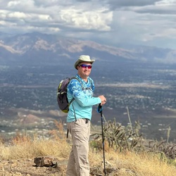
Difficult does not begin to describe this hike IF you are not from the area and acclimated to the elevation. I came here for a visit and this was the one hike I wanted to do the most. I knew it would be harder than anything I had ever done, but I confident I could do it. Don’t let the short distance fool you, I sure did! I am from the Missouri and had no idea that elevation would affect me the way it did (my bad for not looking into that), nor did I anticipate the energy exertion of the climb. I was stubborn and didn’t want to give up and pushed myself too hard and walked too long and never made it to the top. I found myself trying to get down in the dark, I had my headlamp, but veered just slightly off the poorly marked trail and ended up calling for SAR! Amazing group of people saved me and hiked me out! One day I will do this hike again and make it to the top, but my biggest lesson here is to not let my ego and pride get the best of me. I could have been in real trouble.
★
★
★


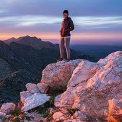
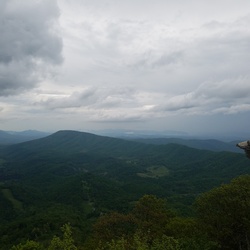
I've hiked thousands of miles in Arizona over the years but at only 7ish miles (round trip), this is the most difficult hike I've ever done in Arizona. The last mile or so to the top, has some hand over hand climbing involved that will make many hikers uneasy. Remember, going down is much more difficult then going up. I would not advise this hike in the rain! Having said that, the view from the Flatiron was amazing!
★
★
★
★
★


Public Tracks

Tonto NF - Apache Junction Hike
https://connect.garmin.com/modern/activity/22905032113

Superstition Wilderness Hike
https://connect.garmin.com/modern/activity/18628488944

Superstition Wilderness Hike
https://connect.garmin.com/modern/activity/18618916379