Argyle Loop Road and County Highway 333
2.6 mi
Distance
1 hrs 32 min
Time
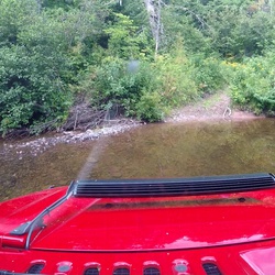
terrain
154 ft
Elev Gain
Overview
This is a moderate one way trail in South Dakota.
Rate this Hike
★★★★★