meta

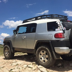
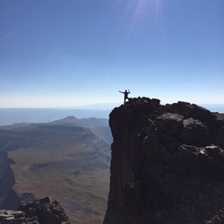
Mount Antero via County Road 278 and County Road 277

based on 211 tracks & routes #9 hike out of 442 in
7.6 mi
Distance
3 hrs 6 min
Time
terrain
4,732 ft
Elev Gain

Overview

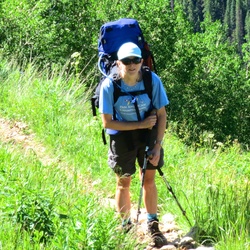
This is a difficult one way trail to Mount Antero in San Isabel National Forest.


    Rate this Hike

    user_profile
    1 year, 6 months ago

    user_profile
    2 years, 8 months ago
    ★ ★ ★ ★

    user_profile
    2 years, 9 months ago

    user_profile
    3 years ago
    ★ ★ ★ ★


Public Tracks

user_profile
jchapell 7 years, 6 months ago
Mt. Antero
<div style='width:200px;overflow:hidden;margin-bottom:5px;'>West Slopes<br><br><a target='_blank' href='http://www.14ers.com/route.php?route=ante1&peak=Mt.+Antero'>View Route Description</a><br><br></div>
user_profile
mjhall159 5 years, 5 months ago
Mount_Antero_Colorado
Length: 11.39 km (7.079 mi)
user_profile
Trevor Hoggatt 6 years, 8 months ago
Mount_Antero_Colorado
Length: 11.39 km (7.079 mi)
user_profile
Wojciech 2 years, 8 months ago
user_profile
Adryen 3 years, 8 months ago
user_profile
mark.parmet 3 years, 10 months ago
user_profile
cagleyb 4 years, 7 months ago
user_profile
rba-nh 4 years, 8 months ago
user_profile
outdoorcolorado 4 years, 8 months ago
user_profile
Slawso 4 years, 9 months ago
user_profile
pcunneen874 5 years, 3 months ago
user_profile
pcunneen874 5 years, 3 months ago
user_profile
Ashley 5 years, 6 months ago
user_profile
CheapCigarMan 6 years, 5 months ago
user_profile
Robin Schichtel 6 years, 11 months ago
user_profile
arctyson 7 years, 9 months ago
user_profile
jennifermg 8 years, 1 month ago
user_profile
Anita Sugar 13 years, 9 months ago