San Jacinto Peak via Devils Slide Trail and Pacific Crest Trail
14.7 mi
Distance
7 hrs 3 min
Time
terrain
4,241 ft
Elev Gain
Overview
This is a difficult out and back trail to San Jacinto Peak in San Jacinto Wilderness.
This trail goes by Jolley Spring (Dry), Middle Spring, Wellman Divide, and Powderbox Spring.
Sights to See
Rate this Hike
★★★★★

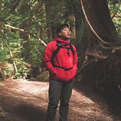
Solo hiked Mar 6 2026 – Started really early to get great snow for the entire trek with nice weather. Bare boots and a light merino hoodie to 10k ft. /3048 m, micro spikes and a hard shell from there to the peak. Taking the East Ridge route up from near Miller Peak instead of the last few switchbacks on the Peak Trail was great with good snow and no ice (unlike January). Views off the summit were a little hazy but those toward San Gorgonio Mountain, Snow Creek and Coachella Valley were still nice. Nice gentle breeze on the summit was a bonus, given the upcoming forecast. Descending on firm snow with no ice was great with micro spikes down to 8500 ft. / 8591 m (not necessary but helped the pace). Stopped at Wellman’s Cienega to filter a liter and was surprised that the 18 inch icicles were still there. Water was flowing well at the Jolley and Middle Spring crossings on Devil’s Slide. It was nice that the FS reopened the Humber Park gate with only a handful of cars parked as of mid-morning and no snow to be found. Recommend reading Jon King’s San Jacinto Trail Report at https://sanjacjon.com/ for the latest trail conditions before heading out. FYI – online day hike permits are available at https://www.fs.usda.gov/r05/sanbernardino/wilderness/san-jacinto-wilderness. Logged 15.0 mi /24.1 km & 4286 ft. /1306.4 m with Gaia
★
★
★
★
★
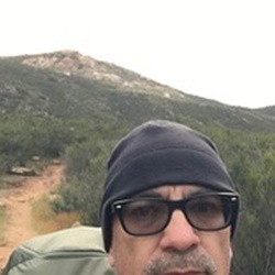

This was a great hike but my wife and I were unprepared for the ice on the trail. With only one set of crampons for her it was extremely difficult for me to find safe footing in some areas slowing us down a lot. This is the wrong time of year to make this peak due to how early it gets dark. We hiked the last 4 miles back to the car in the dark.extremely windy, 65 mph winds at the peak and very cold. I highly recommend this hike but at a time of year when darkness doesn’t fall at 5:00 P.M.
★
★
★


Public Tracks

May Valley Trails Hike
Recorded on Garmin Forerunner 955
https://connect.garmin.com/modern/activity/20461481594

May Valley Trails Hike
https://connect.garmin.com/modern/activity/22977011350


SanJacinto.gpx
Devils Slide Trail from Humber Park to San Jacinto