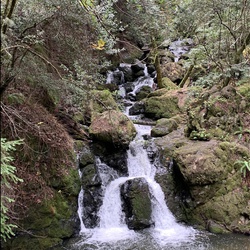
steep ravine
5.9 mi
Distance
2 hrs 55 min
Time
terrain
930 ft
Elev Gain
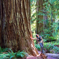
Overview
This is a moderate loop trail to Jim Wright Grove in Mount Tamalpais State Park.
This trail goes by Pantoll Ranger Station, Pantoll Trailhead, and Cardiac Hill.
Rate this Hike
★★★★★