One tap to adventure

Adventure Modes sets up your map with all the right data and layers for however you hit the trail.

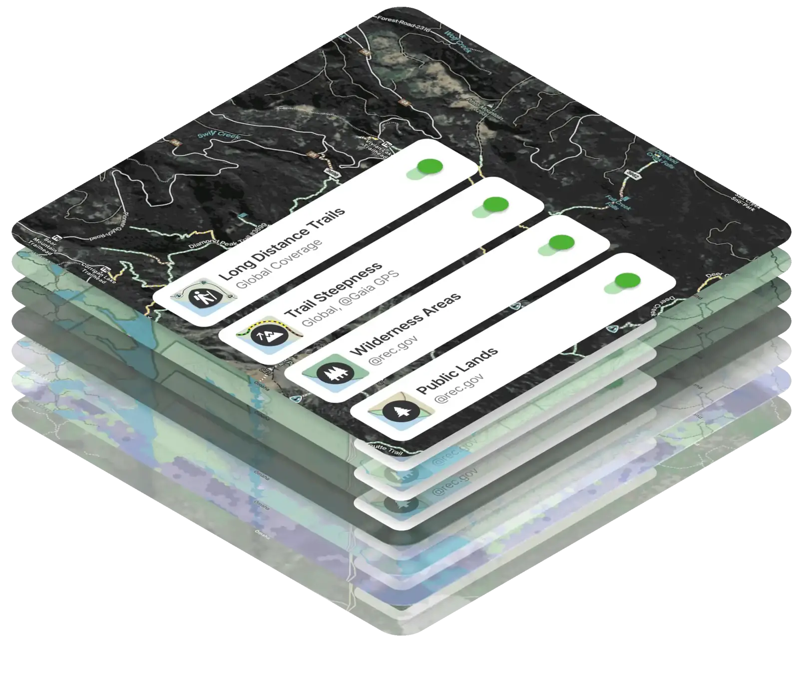
Trail overlays and elevation data for hikers.

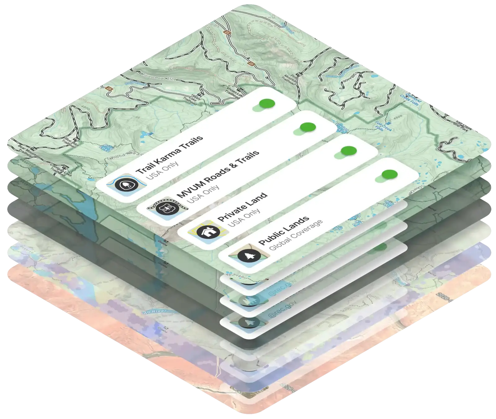
Road surface and clearance layers for off-roading.

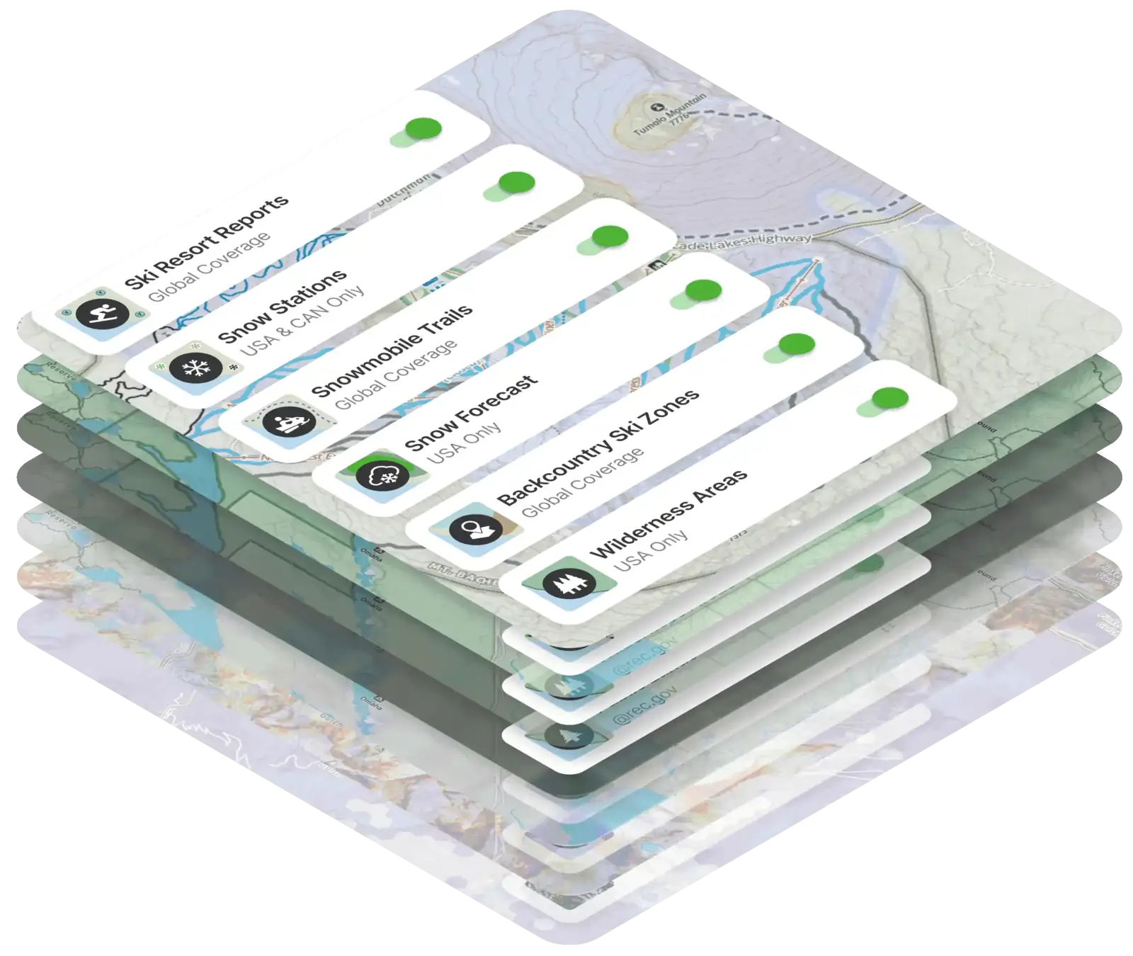
Avalanche forecasts and slope angle shading for planning the perfect ski tour.

Curated for adventure

Every mode is built around what your activity actually demands. It's one map, purpose-built for however you're getting out there.

How it works

Adventure Modes makes dialing in your map quicker and simpler than ever before. Pick your activity, adjust what you need, and Gaia GPS remembers your setup the next time you head out.

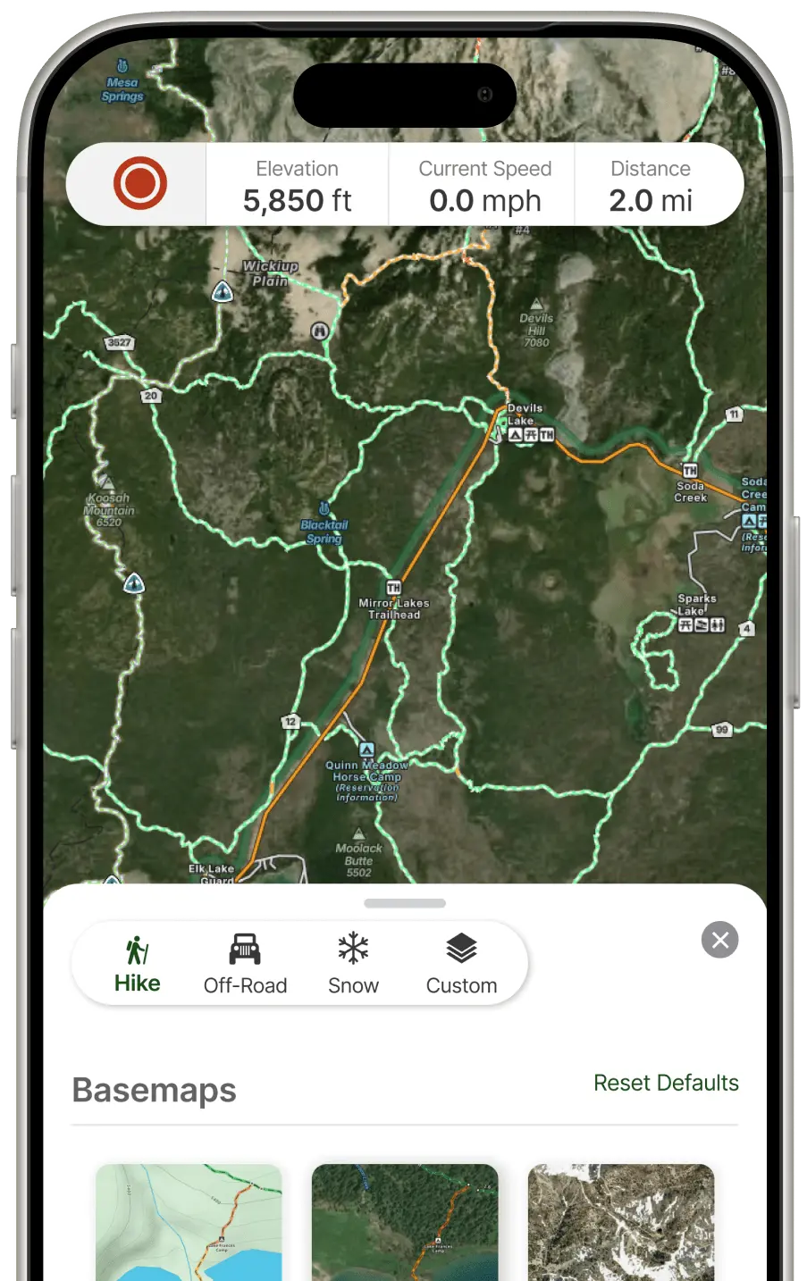
Gaia GPS iPhone app showing Hike mode with trail layers

Choose your mode

Tap into Hike, Off-Road, or Snow mode to instantly load a map profile built for that activity. The right layers and settings are locked and loaded for your next activity.

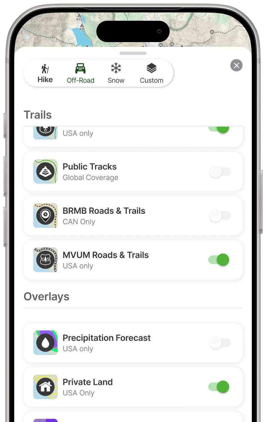
Gaia GPS iPhone app showing Off-Road mode with trails and overlays

Customize your layers

Every mode starts with a smart default. Swap in additional layers, adjust your data sources, or fine-tune opacity to match your exact needs.

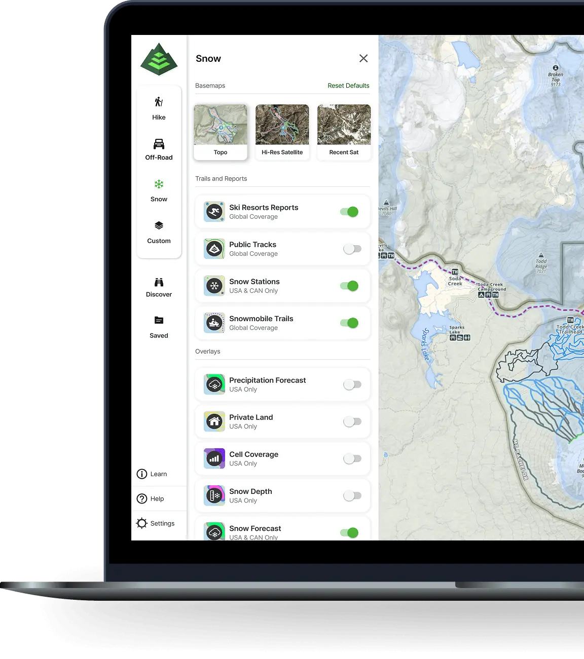
Gaia GPS web app on MacBook showing full desktop interface

Available on web & mobile

Gaia GPS saves your layer choices and settings per mode. Start with your fully configured map every time, without starting over.

Dial in your adventure
with 300+ maps

Go deeper with Gaia GPS's extensive map library, and make any mode yours.
From Cell Phone Coverage and Private Lands to individual hunting layers there's a map to help you navigate whatever the trail throws your way.

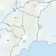
Private Lands

Never wonder whose land you're on — see every parcel boundary and owner across the US.

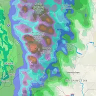
Precipitation Forecast

Know exactly when the storm rolls in so you can time your summit push to perfection.

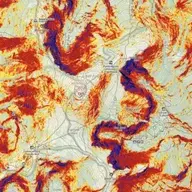
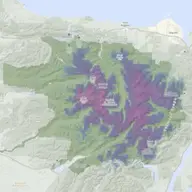
Slope Angle

See the steepness before you're standing on it, so every step forward is a confident one.

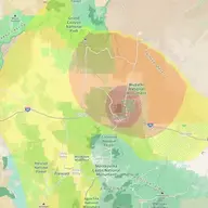
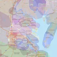
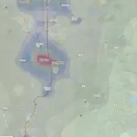
Cell Phone Coverage

Find out where your signal fades so you can explore further with total peace of mind.

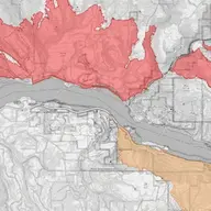
Wildfire Map Layer

Track active fire perimeters and closure zones in real time so you can reroute before you're in danger.

Air Quality

Check the air before you breathe it hard, so you can push your limits on the cleanest days.

Native Land Territories

Hike with deeper awareness of whose land you're on and the rich history beneath every vista.

Light Pollution

Chase the darkest skies in your region and camp where the Milky Way actually shows up.

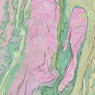
Bedrock Geology

Discover the ancient story written beneath your boots on every trail you hike.

Snow Depth

Know exactly how much snow is on the ground before you head out, so you can plan your gear, pace, and bailout options with confidence.

Hunting Layers

Plan your season with precision: access boundaries, land ownership, and animal habitat all in one view.

And so many more

Whatever adventure you're chasing, there's a layer that gets you there smarter, safer, and more stoked than ever.

FAQ