Wyoming Whitetail Deer Units 10
54.2%
Public Land
549,007
acres
5,272 / 4,192ft
Min/Max Elevation
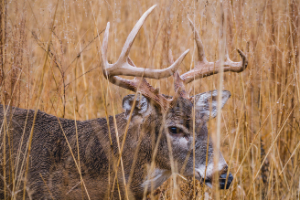
Wyoming 10 - Unit Overview
Unit 10 for Whitetail Deer covers approximately 549,007 acres, and roughly half of this unit is comprised of public land. The dominant land cover for Unit 10 is grassland/herbaceous. From September through December, this unit receives an average of 0.71 inches of precipitation a month and the heaviest rainfall is in September. Temperatures during hunting seasons typically range from 23°F to 58°F.
Species
Whitetail Deer
Average Temperature
Average Precipitation
Wyoming Hunting Maps App
Download today, and you can record, track, and navigate for free.
