Grind up hill and the loop down on the Baldy side was not fun. Recommend up and down the mt Tyler trail
★
★
★
★
★
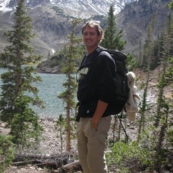
Beautiful forest hike with beautiful fall lake views and a final summit view of Constance and the surrounding range (amidst some trees).
★
★
★
★

Bro imkiww VW is oh okay def
Did:8. L
Mount Redou Zoe. I
Is I’m done by hi z I’m mid
Into my
I
★
★
★
★
★


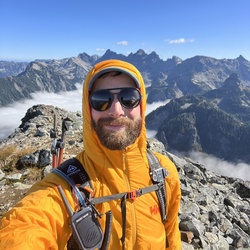
Excellent non-permit multi-day way into Olympic high country. Scramble up ridge east of Constance Pass. Camp on bench above Marmot Pass, shuttling water from Mystery Camp. Scramble Buckhorn for awesome views.
★
★
★
★
★

Beautiful hike, rained hard first two miles.Ramped up the elevation after 1.5. Lots of flora and fauna and mushrooms.
Opened up to a beautiful clearing with great views a mile before you reach the pass. Once you get to pass it was stunning. The clouds parted but pretty windy and cold. We had the trail to ourselves. Started at 10am ended at 4:30. The sun came out for the very end to warm out backs.
Very strenuous, hard hike.
★
★
★
★
★

Great hike with a gazillion rhododendrons. Pretty flat for the most part. Easy to miss the Tull Canyon cut off where the plane is.
★
★
★
★
★

Great backpack. Crowded holiday weekend but awesome weather. Trail by river is passable. Few wild flowers.
★
★
★
★
★
Off trail for some bushwhacking, easy stream crossing and more bushwhacking with a few hundred feet of elevation gain to a steepening snow climb to the summit. Crampons very helpful for the last 500’ vertical or so.
★
★
★
★


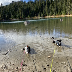
This one has it all. Abandoned mines, plane wreckage (side trip), a cold lake to swim in, boulders to climb, EPIC views. Even a 4 mile road walk! 😉
If you’re planning to camp at the lake, get an early start. There’s only one camp spot on the lake, with a few more along the trail approaching it.
I recommend going clockwise and getting that road walk out of the way first.
★
★
★
★
★

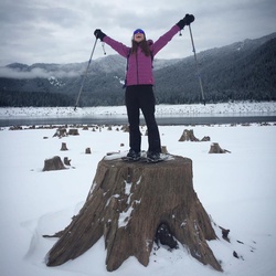
The wildflowers were spectacular today, each meadow with different varieties— was misty and sweet — no long views, but lovely day (Denise and Lori)
★
★
★
★

The trail is very steep first. Start slow. But it does get better and better. Views are great.
★
★
★
★
★

An easy out and back hike. We went with friends and ate lunch at Camp Handy. We missed the first turn on the way out and had to backtrack. The turnoff for FS 2880 came almost right after going onto gravel.
★
★
★
★

Beautiful trail with a lot of shade much of the way up. The Quilcene river still has a good water flow. Views at the pass are great.
★
★
★
★
★

This was an awesome sufferfest. Highly recommended for enthusiasts of self flagellation.
★
★
★
★
★