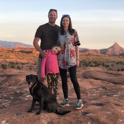
Great ride. Beautiful views, wild life, mines, exploring, etc. some more technical areas.
★
★
★
★

From the park boundary gate, the .4 mile hike is the best route. There is a bit of sandstone scrambling to get right under the pictograph. The best route is to a saddleback next to a big rock.
This route is the most accurate from experience.
★
★
★
★
★



Good run to a beautiful camp. Definitely need to air down and do not recommend running this trail alone.
★
★
★
★
★
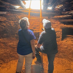

This trail is a county toad. Lightly, very lightly maintained. Narrow in a number of places, low hanging trees. Beautiful canyon, lots to enjoy.
★
★
★
★

This started as a trip thru Davis canyon to see some cliff dwellings and ended up in Lock Hart Basin to a Mesa with some awesome camping sites.
★
★
★
★
★

Pretty canyon that held water in mid November. Lots of ruins close to the trail. Uncrowded!
★
★
★
★
Some of the towers were very well-preserved. Easy route finding and short, would make a good family hike.
★
★
★