Unbelievable views, lots of tracks and scat, some shade for stops, the pine aroma on the descent was amazing and the gravestone was quite humorous at Grudgings.
★
★
★
★
★


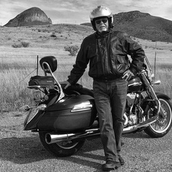
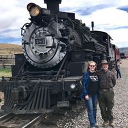
Experienced a section of the Gila Monster 2023 from Lake Roberts to a section of 35 up to the cliff dwellings!
★
★
★
★
★


Super windy up high so bring a shell of some sort and ear protection if you don’t want an earache. Otherwise, a beautiful hike with a gradual ascent.
★
★
★
★
★

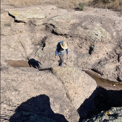
Ran out of time to complete the loop near sign “trail not maintained next 1/4 mile”. But found fascinating slot canyons and a stone prayer circle.
★
★
★
★

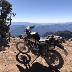
Great track, very scenic, a solid level 2. Fun elevation changes up to 8,800’ with a few rock fields that could be a problem for some riders on adventure bikes. At return to Hwy 32 a sign indicates “Road Ends private land” but it does continue through 3 wire and post gates. 1 section of quite slippery mud, intermittent for 1/2 mile.
★
★
★
★


It was helpful to have a downloaded map since route finding was difficult at times. The hot springs were a great destination. Bring sun screen.
★
★
★
★
★


The Ponderosa Loop Trail. Starts at at ranch and follows an old cattle trail. Goes up into the high desert then connects to the old military trail.
★
★
★
★

Beatiful in early November. Trees are changing color and the crowds are low. Great mining history and and easy walk. Great metal boardwalk and amazing deep canyon with colorful rocks and perfect sized stream. Good for all ages
★
★
★
★
★

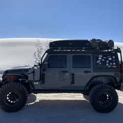
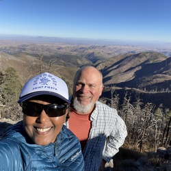
This trail takes you to the top of Jake’s Peek at the crest of the Burro Mountains. Road is for high clearance vehicles. 4x4 recommended. The view at the top is hard to beat as you can see the Gila wilderness and forest. Silver city to Deming and mountain ranges in Mexico and Arizona
★
★
★
★
★
Easy Jeep Trail. 4WD not necessary. Scenic track crosses creek several times. Many picnic/camping spots along Trail.
★
★
★

It was a nice experience. Had a great talk with the fire spotter at the top of the peak.
★
★
★
 stars
stars
Perfect weather last week. Warm water. We swam and played in the river for hours each day. Unfortunately zero water in the tanks up top, (Grave Tank specifically) so we had to extend our hike one day to get back down to the river.
★
★
★
★
★

The scenery on this hike was breathtaking! With each turn of the river, we would see something amazing. Weather was great - daytime highs about 80 degrees, nighttime lows in the 60s (6/5/2019 - 6/8/2019) except for the evening of 6/5/2019...a cold front came through snd nightime temp was about 40. The ascent up the mountain got a bit hot because we started late, but once we crested and started the descent there was shade and cool in the canyon. Jordan Hot Springs was refreshing. The river was cold, but felt good. By the way, the trail crosses the river 50+ times (not exagerating) so your shoes will get wet. The trail going up and down the mountain is mostly jard packed soil with some rocky sections. The trail along the river ranges from hard packed soil, to rocks, to mud, to deep sand. We saw a handful of other campers, most who we saw were around the hot spring. The trail isn't hard to stick to...and there are lots of places to camp - even for our group of 10. There are caves WAY up in the cliff faces, and a few have trails leading to them. Not many wildflowers this time of year, but everything was really green. No rain, but each day, late afternoon, a great breeze blew down the canyon. What an amazing hike!
★
★
★
★
★
Gila Wilderness NM. What a great place and with water! This place has a bit of everything from desert-like environs to Mountains & Canyons. All with the Gila River forks flowing through it and creeks and springs. Awesome. Saw mule deer, snakes but there are are black bears and cougars too.
★
★
★
★
★


 stars
stars