Dogback Mountain Loop via Kistler Memorial highway
9.0 mi
Distance
4 hrs 3 min
Time
terrain
1,783 ft
Elev Gain
Overview
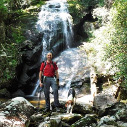
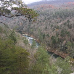
This is a difficult loop trail in Linville Gorge Wilderness.
This trail goes by Dogback Mountain. Or Rock Jock loop.
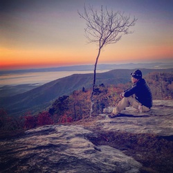
10.8 miles, 3000 feet of ascent amd descent. Fairly challenging terrain, not for casual hiker, excellent scenery, very remote - no cell service.
Getting Started
Park at Pinchin trail head off Kistler memorial hwy, which is gravel but reasonable.
Taking Children
No major exposure, but not ideal for children given terrain and steep climbs.
Rate this Hike
★★★★★

10.8 miles, 3000 foot elevation gain, very steep climbs/descents, tough terrain, very remote - no cell service, beautiful scenery and views of river and gorge. Recommend counter-clockwise route. Take GPS map, free download availabe from Avenza maps app. Can be occassionally easy to lose trail if not careful and have GPS.
★
★
★
★


Public Tracks
 stars
stars
Rock Jock Loop - GNHA
Distance a little long. Closer to 11.5 mi


 stars
stars
