Cotton Mountain from Crawford Ridgepole Trailhead via Crawford-Ridgepole Trail
10.7 mi
Distance
5 hrs 28 min
Time
terrain
1,637 ft
Elev Gain
Overview
This is a moderate one way trail in Burleigh Land LP Conservation Easement. The trail starts at Crawford Ridgepole Trailhead. This trail goes by Mount Webster, Mount Livermore, and Cotton Mountain.
Rate this Hike
★★★★★

Public Tracks

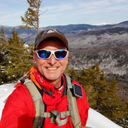
Crawford Ridgepole Squam range traverse
We spotted a car by driving down a very narrow dirt road to the Mead Base parking area. Beede Falls is nearby and was our end goal. We then drove 13 miles to the Cotton Mtn. Trailhead off of 113, to start this 12.2 mile traverse along the Crawford-Ridgepole trail.
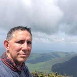
After up and going down and up the many cols, rewarded with great views of Squam Lake, seeing lots of cool old rock walls and millions of colorful mushroom varieties at Cotton, Morgan and Mt Percival, the trail immediately deteriorated into a narrow wooded muddy mess. There were occasionally yellow blazes and cairns, but it was apparent that this last 6 miles had not been maintained and was very overgrown. We climbed around 6 large blowdowns across the path. We saw lots of Moose sign, scat was everywhere. Alas we only encountered squirrels on this day.
It was a very steep last half mile down Doublehead Mtn , we both agreed it would have been a tough steep ascent to have started at this end. There are however 2 very cool cliffs that require some fun scrambling. We were happy to get to the sandwich notch road at the bottom, then took a right. We saw an unmarked trail to our left and see a backcountry campsite with a small set of falls, we wondered if that was our trail but no, after checking our maps we walked about 10 minutes more down to the parking area for Beede Falls and finished the hike at the small scenic area, a popular shallow swimming spot for families. It’s was a short walk after the falls along a well maintained path past an interesting “cow Cave’” and a few tent sites back to our vehicle. There was an outhouse at Mead Base.
We were training for a longer hike coming up in the Rockies so we wanted the mileage, but if you just want views I would recommend Cotton to Percival for a nice 6-7 mile day. You could add Rattlesnake across the street for more mileage and less bushwhacking.