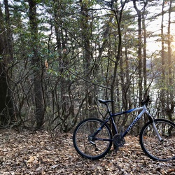
Rose Garden Loop via Laurel Walk
5.4 mi
Distance
3 hrs 6 min
Time
terrain
125 ft
Elev Gain
Overview
This is a moderate loop trail to Rose Garden in Maudslay State Park.
This trail goes by Shallow-Cold Frames, Azalea Swamp, Artichoke Woods, Italian Garden, The Formal Gardens, Christmas Tree Grove, Indian Rock, Point of Rocks, and Flowering Pond.
Rate this Hike
★★★★★