meta

Scales via Appalachian Trail

1 review #15 hike out of 15 in
74.2 mi
Distance
39 hrs 15 min
Time
terrain
3,578 ft
Elev Gain

Overview

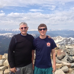
This is a difficult one way trail in Jefferson National Forest.

This trail goes by Scales, Wilburn Ridge, Pine Mountain, Balsam Mountain, Elk Garden Sign, Buzzard Rock, Camp site, McQueen Knob, Locust Pole Knob, Locust Knob, and Forest camp site.


    Rate this Hike

    user_profile
    4 years, 4 months ago
    The Scales are a magical place. An enclosed fenced area and well taken of. The AT goes thru the Scales and there is also a rough 4-wheel road, about 4 miles in length that provides access.
    ★ ★ ★ ★ ★


Public Tracks

user_profile
ctm.70437 6 years, 8 months ago
12
user_profile
bhamdans 8 years ago
12
user_profile
me 9 years, 5 months ago
12