Mount Galbraith Loop
4.2 mi
Distance
1 hrs 55 min
Time
terrain
902 ft
Elev Gain
Overview
This is a easy loop trail to Mount Galbraith in Conservation Easement (no public access).
This trail goes by Mount Galbraith Trailhead.
Rate this Hike
★★★★★
This was a nice morning hike. The trail gets a lot of traffic & is deteriorating in some spots. Our biggest concern was the lack of people wearing masks in the parking lot & when passing. The trail is narrow & it is hard to get out of the way so people should put masks on when passing each other.
★
★
★
★


Public Tracks

Golden Gate Canyon Road to Mount Galbraith Loop Trail
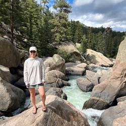
My recommendation is to go left at Mt Galbraith loop from the Cedar Gulch trail. This direction is a more steady uphill, and at the top it seems more clear which path is the one you should follow. When going up the right side of the loop there are several paths that would confuse me as to where I was going. You can see Golden and even Denver from some places along the hike. It is a beautiful hike!!! Moderate difficulty.

Golden Gate Canyon Road to Mount Galbraith Loop Trail
My recommendation is to go left at Mt Galbraith loop from the Cedar Gulch trail. This direction is a more steady uphill, and at the top it seems more clear which path is the one you should follow. When going up the right side of the loop there are several paths that would confuse me as to where I was going. You can see Golden and even Denver from some places along the hike. It is a beautiful hike!!! Moderate difficulty.

Track (9/4/16, 2:20:14PM)
Hike with Becky and Sean. Turned around on the loop when it started to rain. Cleared up towards the middle of the way back. Sean almost pushed me into a rattlesnake
 stars
stars
Mt Galbraith
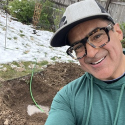
Hike up Mt. Galbraith loop a few days after snow storm. Most of trail was hard-packed snow/ice and traction devices were very helpful.


Mount Galbraith Trail Run
https://connect.garmin.com/modern/activity/19292438289

Mount Galbraith Hike
https://connect.garmin.com/modern/activity/17427220749

21992 Golden Gate Canyon Road to Mount Galbraith, Jefferson County, CO
Cedar gulch trail


 stars
stars