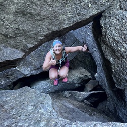
Appalachian Trail and Mahoosuc Trail
26.1 mi
Distance
12 hrs 14 min
Time
terrain
3,225 ft
Elev Gain
Overview
This is a moderate one way trail in Grafton Notch State Park.
Sights to See
Rate this Hike
★★★★★