409 Trail and 409.5A Loop
8.1 mi
Distance
4 hrs 15 min
Time
terrain
1,683 ft
Elev Gain
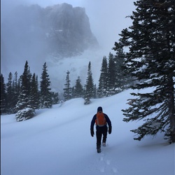
Overview
This is a moderate loop trail in Gunnison National Forest.
Rate this Hike
★★★★★