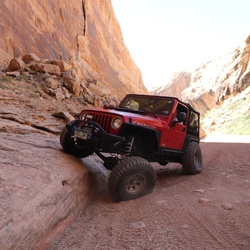
US Forest Service Road 550
14.7 mi
Distance
9 hrs 7 min
Time
terrain
722 ft
Elev Gain
Overview
This is a difficult one way trail in Routt National Forest.
Rate this Hike
★★★★★