Willow Springs via Rocky Gap 4x4 and Lovell Canyon Road
20.9 mi
Distance
12 hrs 11 min
Time
terrain
2,703 ft
Elev Gain
Overview
This is a difficult one way trail in Toiyabe National Forest.
This trail goes by Willow Springs, Lost Creek Trailhead, Ice Box Canyon, and Pine Creek Trailhead.
Sights to See
Rate this Hike
★★★★★
Public Tracks

Rocky Gap 3.0
Statistics computed from imported data<br><br>Friday, May 4, 2018 9:14 AM PDT<br>Distance: 20.7 miles<br>Duration: 2 hours, 43 minutes, and 42 seconds<br>Average Speed: 7.6 mph<br>Minimum Elevation: 3777 feet<br>Maximum Elevation: 6454 feet<br>Total climb: 2254 feet<br>Total descent: 3115 feet

Rocky Gap (H)
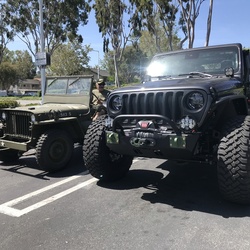
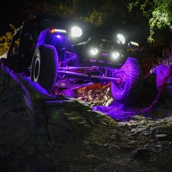
Trail near Red Rocks in Nevada (near Las Vegas, NV). This is a popular trail for off-roading and collecting a Jeep Badge of Honor.
Lift required, 4x4 needed.
Trail Rating: Hard

Rocky Gap 3.0
A challenging trail from Highway 160 through the Spring Mountains to Red Rock Canyon. Many Extra Credits available.
Rocky Gap 3.0
A challenging trail from Highway 160 through the Spring Mountains to Red Rock Canyon. Many Extra Credits available.
Rocky Gap 3.0
A challenging trail from Highway 160 through the Spring Mountains to Red Rock Canyon. Many Extra Credits available.
Rocky Gap 3.0
A challenging trail from Highway 160 through the Spring Mountains to Red Rock Canyon. Many Extra Credits available.


