Goodell Creek Trail
6.3 mi
Distance
2 hrs 25 min
Time
terrain
5,636 ft
Elev Gain
Overview
This is a difficult one way trail in North Cascades National Park.
Rate this Hike
★★★★★
Public Tracks
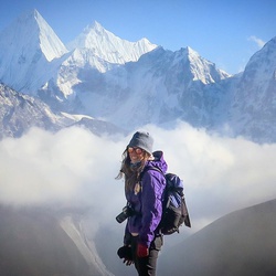
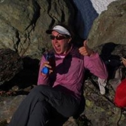
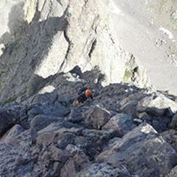
McMillan car to camp Agosta-Starlin 7/20/18
West McMillan Spire climb. This is the car to camp leg, about 7.4 miles, 5,835' ascent into Terror Bason by way of Goodell Creek and a notch in a high ridge near Glee Peak, to a camp that is SE of McMillan. This time of year, we had snow starting at 5,500-6,200. Camp was on sand/gravel/rock, with a stream running beside it.
Terror Basin Camp Approach
Approach to camp for Inspiration peak and McMillan Spire

Goodell Creek Trail
10.25 km, 6.37 mi
range 608' to 6263' +6052' -801'