Art Loeb Trail: South to North
28.5 mi
Distance
14 hrs 2 min
Time
terrain
3,999 ft
Elev Gain
Overview
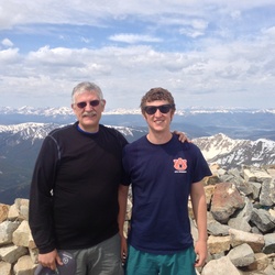
This is a difficult one way trail in Pisgah National Forest.
This trail goes by High Knob, Stony Knob, Chestnut Knob, Cat Pen Gap, Cat Gap, Sandy Gap, Cedar Rock, Butter Gap Shelter, Low Gap, Chestnut Mountain, Pilot Mountain, Deep Gap Shelter, Silvermine Bald, Black Balsam Knob, Tennent Mountain, Grassy Cove Top, Flower Knob, and Stairs Mountain.
Sights to See
Rate this Hike
★★★★★


Public Tracks

Track 1
Statistics computed from imported data<br><br>Distance: 28.9 miles<br>Minimum Elevation: 2146 feet<br>Maximum Elevation: 6191 feet<br>Total climb: 7735 feet<br>Total descent: 6521 feet

Art Loeb Trail
name=
stroke=#000000
marker-color=#000000
stroke-width=4
marker-symbol=star
stroke-opacity=1
totalElevation=2411


 stars
stars