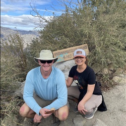
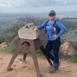
Villager Peak
6.7 mi
Distance
2 hrs 47 min
Time
terrain
4,767 ft
Elev Gain
Overview
This is a moderate one way trail to Villager Peak in Anza-Borrego Desert State Park, east of Borrego Springs, California.
Starting from County Road S22, the trail crosses the desert floor to a broad ridge that steadily rises 4,750 feet to the summit of Villager Peak. This is a moderately trafficked trail.
Getting Started
The trailhead is just off County Road S22 approximately 13.5 miles east of Borrego Springs. The trail begins on the north side of the road; there is plenty of parking on both the north and south sides of the road.
Sights to See
Rate this Hike
★★★★★


Public Tracks

Route via Gaia's snap-to-trail feature - copy
There are not a lot of clean GPX tracks that go JUST to Villager; but there is a trail on Gaia's base map so I just drew my own route.