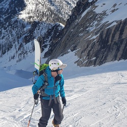
Dosewallips Road Trail
9.7 mi
Distance
5 hrs 19 min
Time
terrain
965 ft
Elev Gain
Overview
This is a difficult out and back trail in Olympic National Forest.
This is an alternate route for Dosewallips Road Trail.
Rate this Hike
★★★★★
Public Tracks
Dosewallips hike/fishing spot - 06/29/19
Caught trout right from here. There is a single picnic bench. The signage along the trail indicates this is where the old CG should be, but it is actually just a bit further down the path. Cool post-apocalyptic looking CG!
Dosewallips Cascades 4-9-18
Actual Distance: 11.0 miles. Some hikers went to the top of the cascades for lunch which made the distance 11.7 miles.

Dosewallips River Road Hike
Walked the road to the bottom of the falls where we stopped for lunch on a log in a nice cool and shady area.