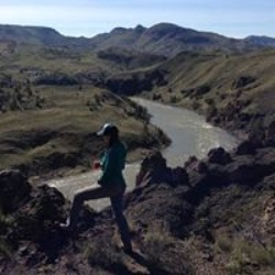
Antler Point from Grant Lake
9.8 mi
Distance
5 hrs 23 min
Time
terrain
1,378 ft
Elev Gain
Overview
This is a moderate out and back trail in Joseph D Grant County Park.
Rate this Hike
★★★★★