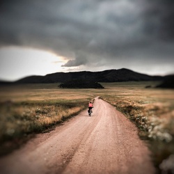
Mount Sherman - Southwest Ridge from Fourmile Creek
2.1 mi
Distance
44 min
Time
terrain
2,083 ft
Elev Gain
Overview
This is a moderate one way trail in San Isabel National Forest.
Rate this Hike
★★★★★


Public Tracks

Mt. Sherman - West Slopes
<div class='gmap-infowindow-description'><span class='gmap-infowindow-subheader'><a target='_blank' href='https://www.14ers.com/route.php?route=sher2'>Mt. Sherman - West Slopes</a></span><br><a target='_blank' href='https://www.14ers.com/php14ers/download.php?file=sher2.gpx&type=routegpx''><img src="https://www.14ers.com/images/icon_download_medium.png" border=0 width="12" height="12" title="Download" alt="Download"> GPX File</a><br><a target='_blank' href='https://www.14ers.com/php14ers/download.php?file=sher2.kml&type=routekml'><img src="https://www.14ers.com/images/icon_download_medium.png" border=0 width="12" height="12" title="Download" alt="Download"> KML File</a><br></div>

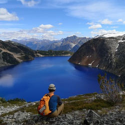
Mt. Sherman
<div style='width:200px;overflow:hidden;margin-bottom:5px;'>West Slopes from Iowa Gulch<br><br><a target='_blank' href='http://www.14ers.com/route.php?route=sher2&peak=Mt.+Sherman'>View Route Description</a><br><br></div>