Art Loeb Trail - North to South
29.8 mi
Distance
15 hrs 9 min
Time
terrain
4,003 ft
Elev Gain
Overview
This is a difficult one way trail to Art Loeb Trailhead Parking in Blue Ridge Parkway.
This trail goes by Stairs Mountain, Flower Knob, Grassy Cove Top, Tennent Mountain, Black Balsam Knob, Silvermine Bald, Deep Gap Shelter, Pilot Mountain, Chestnut Mountain, Low Gap, Butter Gap Shelter, Cedar Rock, Sandy Gap, Cat Gap, Cat Pen Gap, Chestnut Knob, Stony Knob, and High Knob.
Sights to See
Rate this Hike
★★★★★

Went North to South for 3 days, 2 nights in late March. I knew it was a tough hike but it was harder than expected. Overall loved the experience but wish there were more blazes, especially the first 10 miles or so from the North terminus.
Saw some volunteers keeping the trail up - THANK YOU to everyone who works on the trail and for those that built the new shelters. The shelters were perfect!
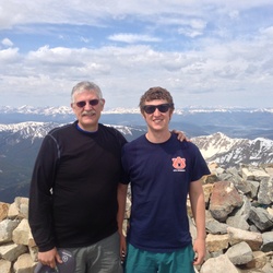
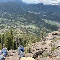
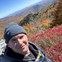
Great hike, tough but worth the experience. The views are spectacular.
★
★
★
★
★


Public Tracks

146 Art Loeb
weight=2.0&pattern=solid&color=%23FFAA00&fill=0.0&comments=&folderId=9