Mount Carrigain via Signal Ridge Trail
13.4 mi
Distance
6 hrs 51 min
Time
terrain
3,704 ft
Elev Gain
Overview
This is a difficult out and back trail to Mount Carrigain in White Mountain National Forest.
Sights to See
Rate this Hike
★★★★★

The chief complaint is that the yellow blazes stop at about 1.5 miles. Then there are several points where the trail seems to split and requires some judgement calls and without the blazes it is tricky, especially around 1.8 ish there is a left that has some little logs across it seemingly indicating it is wrong, but the well established trail goes left here and straight. According to Gaia, that left is legit...but if you go straight, that is where you hit the actual fork in the trail with th signage that says 3.3 to the peak to the left and notch trail to the right. The hike is a flat-ish start and then around 2.5 miles starts a gradual climb to the top. The gradual climb switchbacks up a side to a ridge. The wind picked up on the ridge so we changed into wind gear just below the ridge. Good call. Hiked along ridge to the "false" peak which has good view out toward Jackson. It was socked in the day we were there. Then it flattens out to the final push up to the top with the tower.
★
★
★
★


Public Tracks

Mt Carrigan
Nice warm day
Snow fading fast
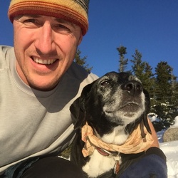
Rachel and Michelle
Looooonnngggg day
Bartlett Trail Run
https://connect.garmin.com/modern/activity/22940808281


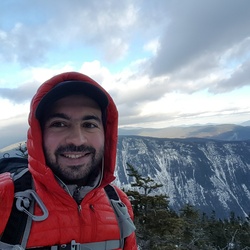
Mount Carrigain Region Hike
https://connect.garmin.com/modern/activity/17860695189

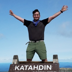
Mt. Carrigain
Went on a beautiful day so Karen could finish her NH