Mount Whitney
19.7 mi
Distance
8 hrs 14 min
Time
terrain
6,076 ft
Elev Gain
Overview
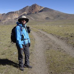
This is a moderate/ difficult out and back trail to Mount Whitney in Sequoia National Park.
This trail goes by Bighorn Park, Outpost Camp, Mirror Lake, Trail Camp, Discovery Pinnacle, Aiguille du Paquoir, Aiguille Extra, Crooks Peak, Keeler Needle, Aiguille Junior, and Whitney Portal Trailhead.
Sights to See
Rate this Hike
★★★★★

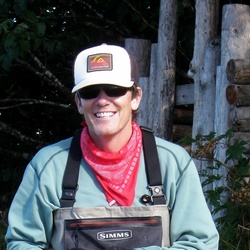
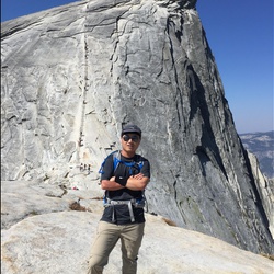
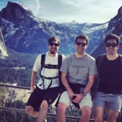
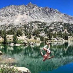
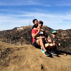
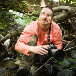
Solo day hiked Tues 5-20-2025. Always thankful for perfect weather on higher altitude treks/climbs and this was a blue bird day. Starting really early to climb great snow in the chute (like others have mentioned) and it was fun but not sure why it took over an hour to do it (seemed like more effort than the mountaineer’s chute to the notch). Panoramic views off the summit were awesome, making for a longer stay. The goal of glissading down before noon worked out well with decent snow for a fast but controllable bit of fun with my axe hitting ice only once. I started on the skier’s right hand side (close to Discovery Pinnacle) to have a runout line further from the rocks and I still had plenty of room to make the right turn at the bottom. Met a lot of very nice people on the trail and had a long lunch with some at Trail Camp before heading down. I knew I would be post holing in the early afternoon on the lower half of the trail but it wasn’t that bad, just slower going. There are some sketchy snow traverses on the lower half that required a little care which will only get worse in the heat so be careful. It must have been National Marmot Day because I ran across 8 of them on the trail. Really fun day. Somebody was telling me topside that they could self-arrest with a trekking pole but I said that I’ve never met anyone who’s actually been successful. It’s been hard enough for me in the past with a good axe in hand and it was unbelievably scary both times. Logged 17.9 mi / 28.8 km & 6329 ft / 1929.1 m gain with Gaia
★
★
★
★
★


Started on Saturday 1am but didn’t get to the trail camp until 12pm. Totally underestimated altitude sickness and overpacked food.
Camped at trail camp for one night. It was quickly getting cold after 5pm as the shadow of the mountain covered the campground. Sun went down around 6:30pm.
Started Sunday morning around 8am to the summit. Finally got to the top at 2pm and got back down to trail camp around 6pm.
Collected all camping gear and headed down in darkness around 7pm. Got back to trailhead parking lot at 0:30am Monday.
★
★
★
★
★


Public Tracks
Its my Birthday and I'll climb if I want to...
"Cause baby, there ain't no mountain high enough
Ain't no valley low enough..." (Marvin Gaye and Tammi Terrell)
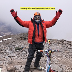
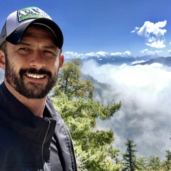
Did something off the charts crazy, on my birthday. An epic California road trip and mountain climb with some hard core trail runner/hikers from WA State. Within a 24-hour span, we went from the lowest spot in North America (280 ft below sea level) to the highest point in the contiguous United States (14,505 ft) - Death Valley to the summit of Mount Whitney.
Day-1 was a photo op in Death Valley, one of the hottest places on Earth where temps have hit the 130s. It was a chilly 111-degrees during our visit.
Day-2 we hiked to the summit of Mount Whitney--Over 21-miles and 6640-feet of elevation gain!
The Mt Whitney high altitude/sickness, 550' of elevation gain per mile and rocky terrain combined to make this one of the toughest physical and mental endurance challenges I've ever taken on. Total time on trail (started with headlamps at 1AM) was nearly 16-hours.

Mount Whitney Route, Jul 15, 2018 11:09:58 PM
Approximately 10.5 miles from Portal, 7,776' gain, 1,960' loss, starts at 8,365'. Vigorous high-altitude hike.
This is a hike of a lifetime. It is difficult due to the altitude and requires conditioning and determination. Should use GPS as some surfaces of the trail are difficult to follow due to massive granite surface area. Know your water sources and use them wisely. Water should be treated. Carry out own waste. The only toilets are near the parking lot at the beginning. Help others on the trail. This hike is no joke. It can be quite dangerous and many hikers have lost their lives on this hike. Enjoy it and don't become a statitistic. Once on the summit, rest, take photos and take leisure hike down. Don't forget to rest occassionally. Going down is quite easy to trip and fall. Especially when you are tired. Try to finish before sunset.

John Muir Wilderness Walk
https://connect.garmin.com/modern/activity/19695869438


 stars
stars


 stars
stars