Catawba Falls
Overview
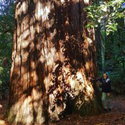
This is an easy out and back trail in North Carolina. The trailhead is easy to find, with good parking and bathroom facilities at the base of the trail. It follows an old road past a former power plant and dam to a spectacular cascade. The trail bed is wide and gently sloping at the beginning becoming steeper and more rocky as you approach the falls. There are several pools for wading along the river. The trail officially ends at the falls. It is possible to continue steeply upstream to Upper Catawba Falls, but the Forest Service discourages this practice due to environmental impact and because of several fatalities that have occurred.
This is a perfect family outing for all.
Getting Started
From I-40 Exit 73 follow Catawba River Road to the US Forest Service parking area. The trail leaves from the information kiosk.
Taking Children
This is a good hike for children. Do not allow them to climb the falls.
Rate this Hike
★★★★★


 stars
stars


Public Tracks

 stars
stars